Day 26 – Tangerhütte
The morning
After waking up in the hotel in Gardelegen, I had a quick shower and prepared all my stuff so I could pack my bag after breakfast. So I did. I checked out of the hotel and started my walk. I did not know what adventure I was starting…
The walk
It was a real adventure. As you can see on the map, I was to walk towards the east, cross a forest and go to a town called Schernebeck. I decided to give the alternative route, that Google Maps gave to me, a chance.
That route went a bit south east, and indicated I should cross the Colbitz-Letzlinger Heide somewhere in the middle. So far so good. I followed the B71, an important road for the local towns and cities. I was passed by cars, trucks, buses and two cyclists. I had to go on to the former R71. This road at some point was a dead end because I was in front of an sign. A sign that indicated the area was a military practice area and entering that area without an approval is not allowed.
I checked Google Maps and decided I then had to go further south to cross the area there. I still had the feeling that that was somehow possible. So I continued my way. Walking back 8.5km was not really an option…
When I followed that road, a dirt road, I saw the two cyclists again. It was a dead end, crossing the military area was not possible. We had a short chat, they were from Kansas and were on a trip to Berlin having started in Amsterdam. They asked where I was from and what I was doing here. They were amazed to hear I walked from Rotterdam. So, there we were, in the middle of a deserted area, guided by Google Maps, which still indicated we could cross the military area. Which we didn’t. I came up with an alternative, to go to Letzlingen and ask further instructions there. They also went in that direction and so we wished each other a good and safe trip.
When I arrived in Letzlingen I asked two older ladies if they know how to get to Tangerhütte. They didn’t, and sent met to the local bank. After asking there, I realized crossing the military area was an absolute no-go. Time to improvise. I walked to a gas station to ask the personnel there if they knew a way to get to my destination. A man, Arnold, who happened to just have had lunch overheard our conversation and he said I could ride with him to Hüttel and on to Colbitz, where I could walk north to Tangerhütte.
After 25km in the car, and having a chat about Arnolds work, his very old car, the area and of course my adventure, he dropped me off at a crossing close to Colbitz. I was on my way again and had to walk 19km to get to my hotel.
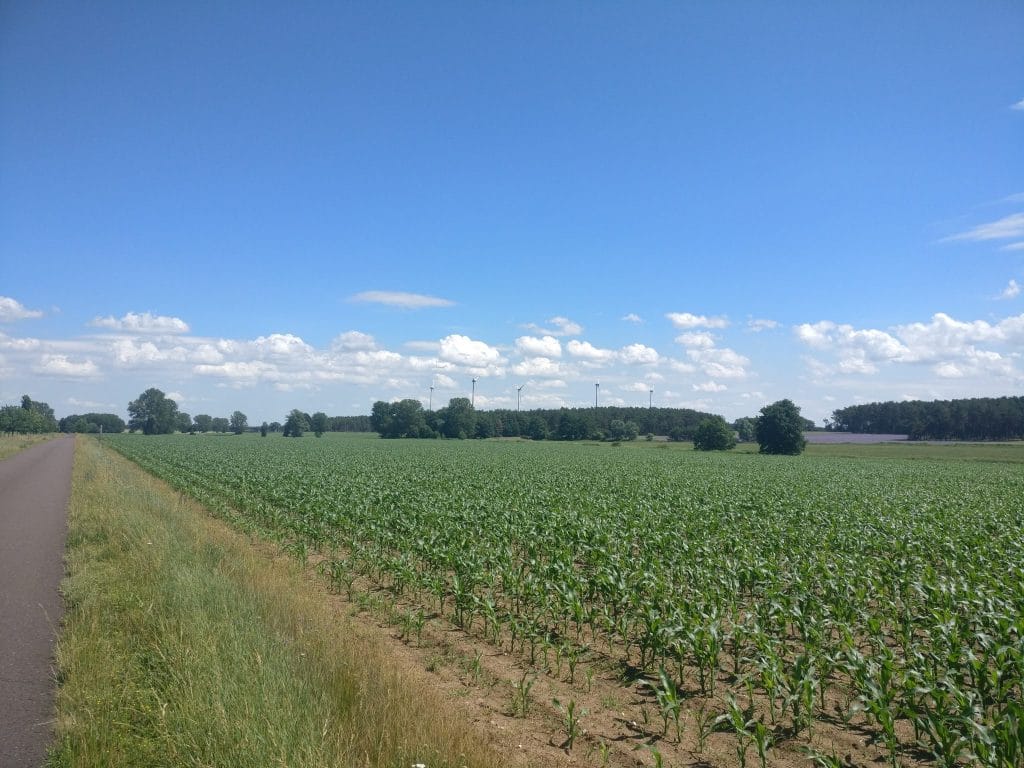
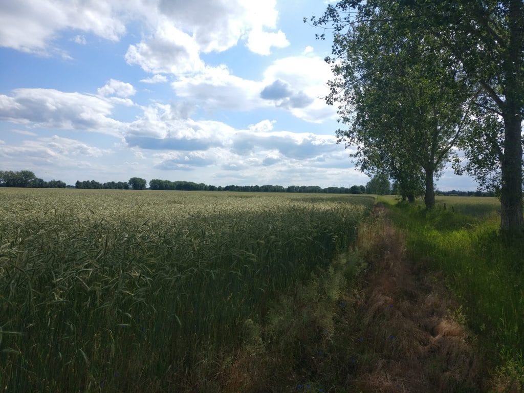
It was a great walk with nice scenery, some shadow, and lots of trees. I had a quick lunch somewhere in the shadow and continued. When I was about 3km from my destination, Google Maps said I needed to take a left turn. But, there was nothing. Just a wheat field and a small strip of bare soil that could not be called a road. I had two options, walk back one kilometer, or go on and walk through high grass and wheat. Of course I chose the latter…
When I left the wheat field, and exchanged the bare and sometimes soft soil for a solid road, I cheered a little. Just 1km to go. Around 4:20pm I arrived in the hotel.
Here is the complete route I walked.
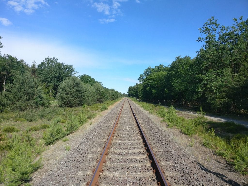
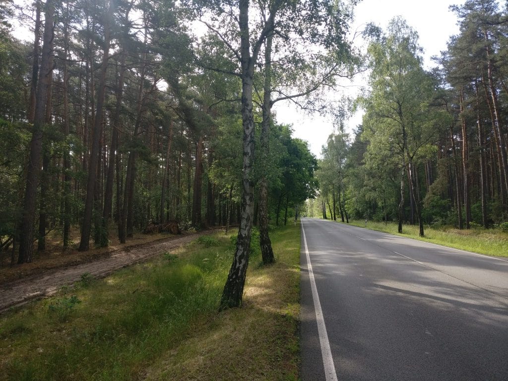
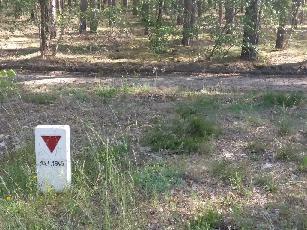
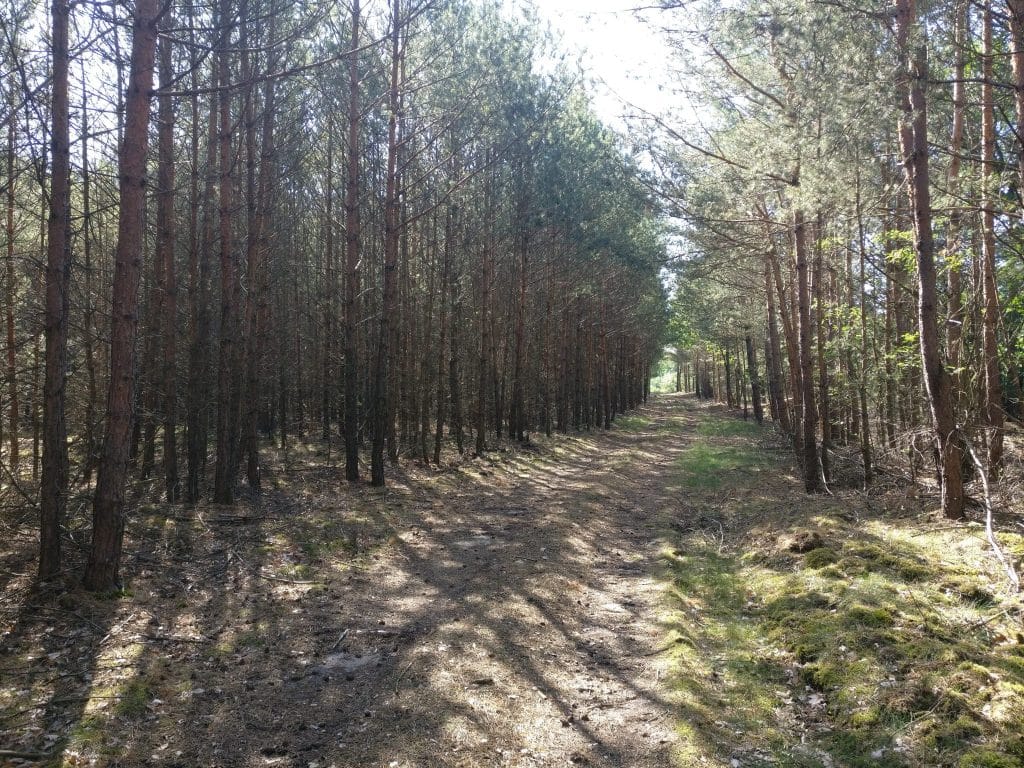
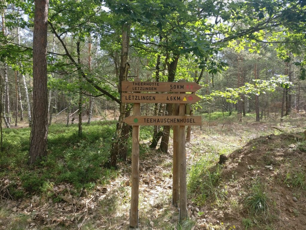
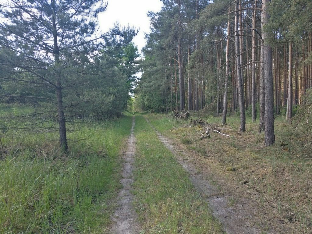
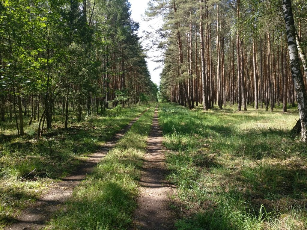
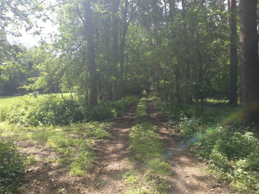
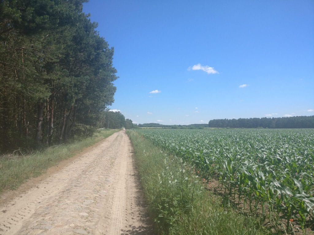
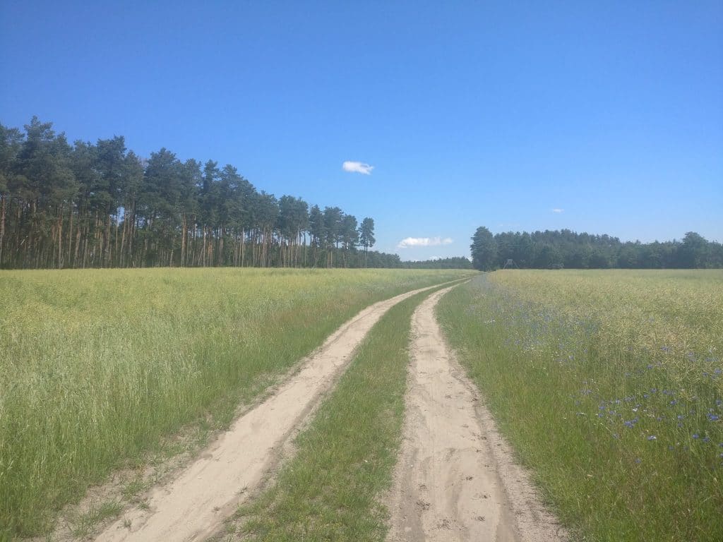
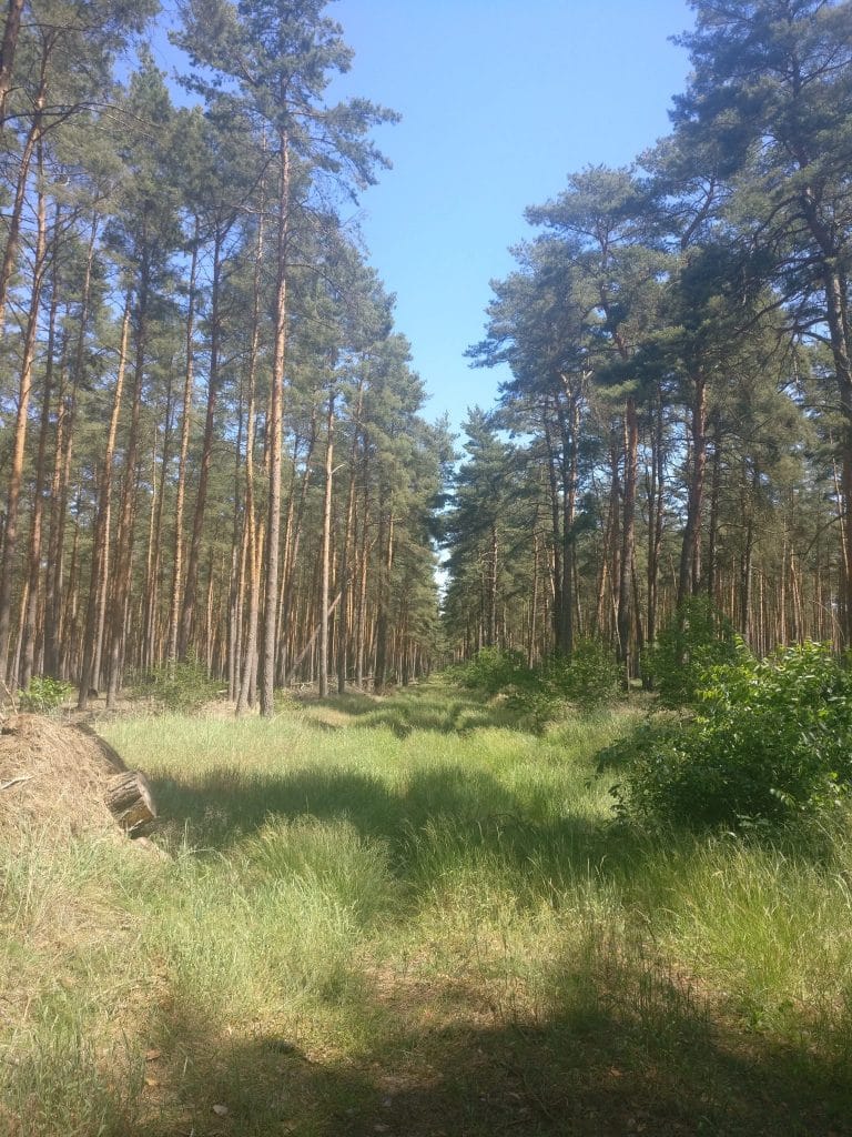
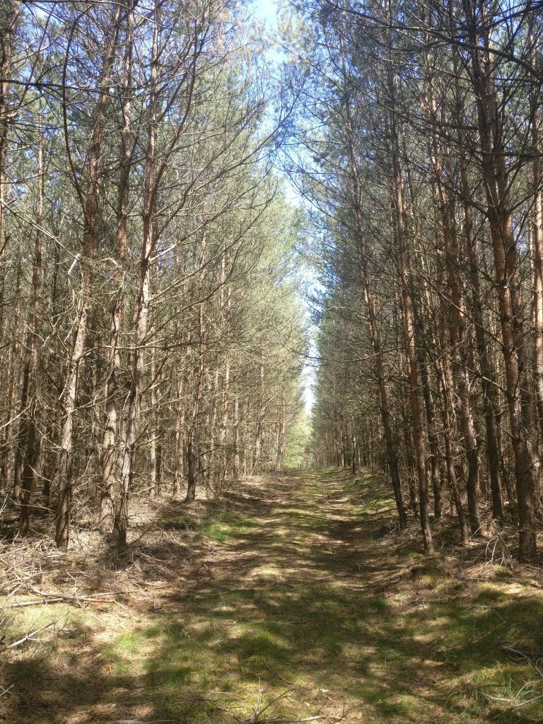
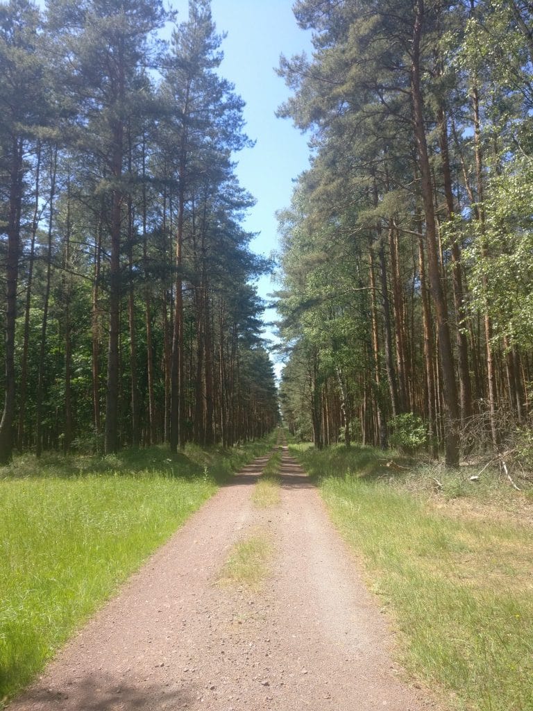
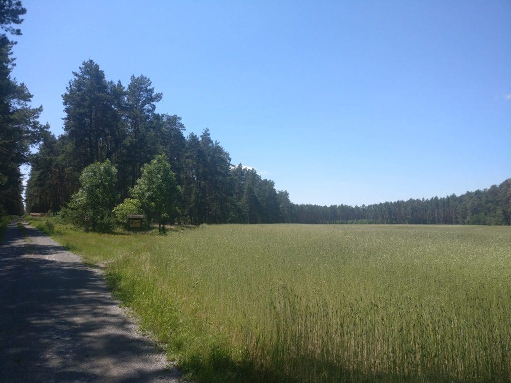
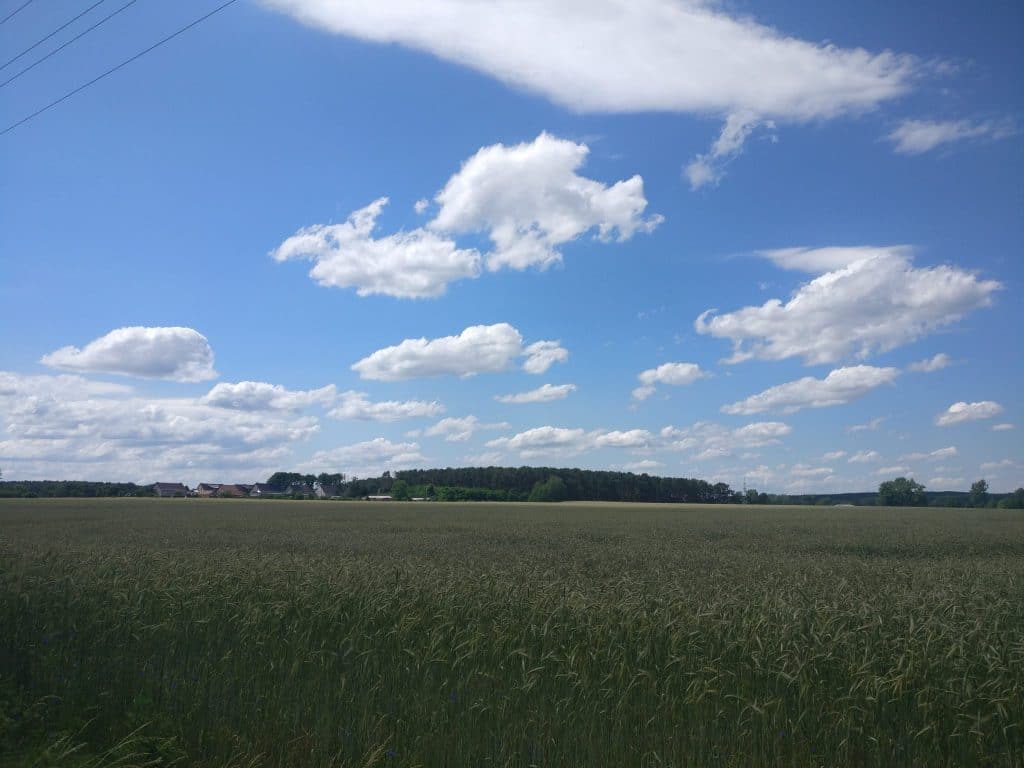
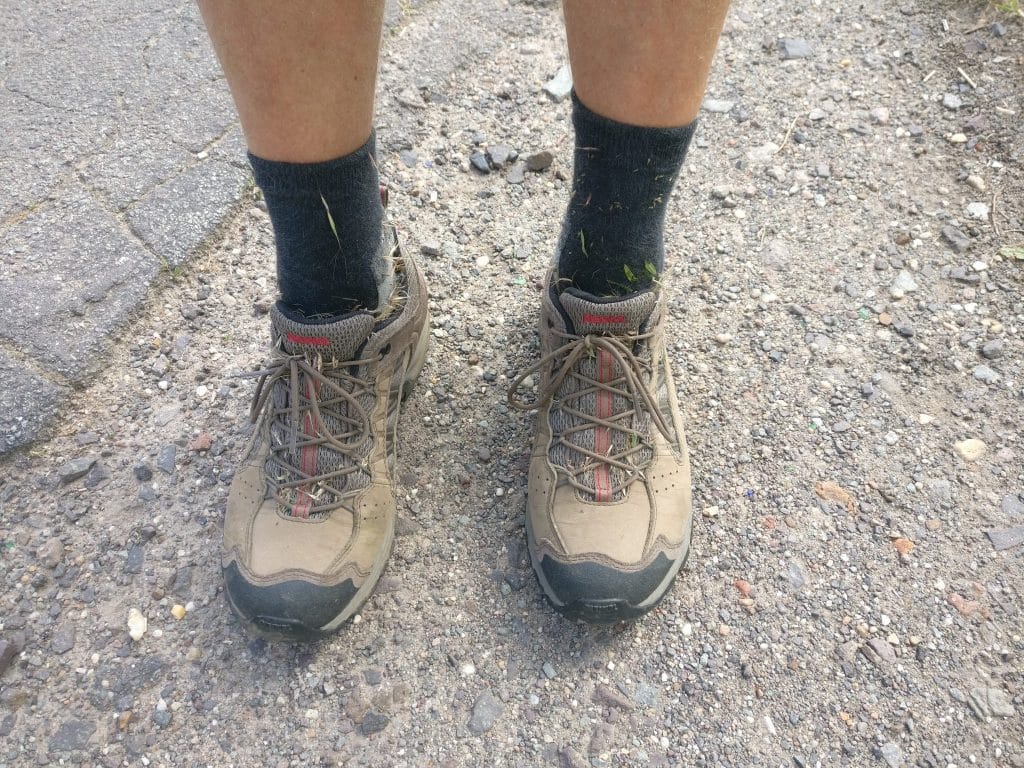
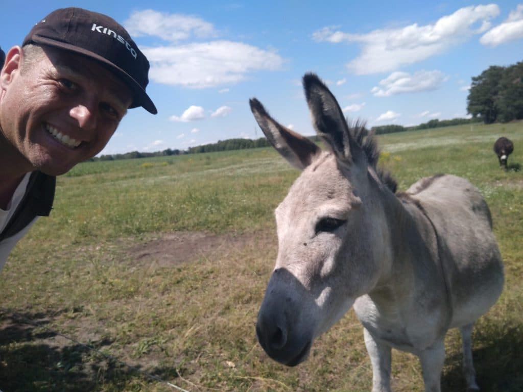
Pictures of today
Lessons learned
Do not just trust Google Maps. If the route takes me across forest/military areas, inform with the locals first.
People are helpful, just ask and see what happens. Don’t improvise without first consulting with locals.
Did I mention talk to locals?
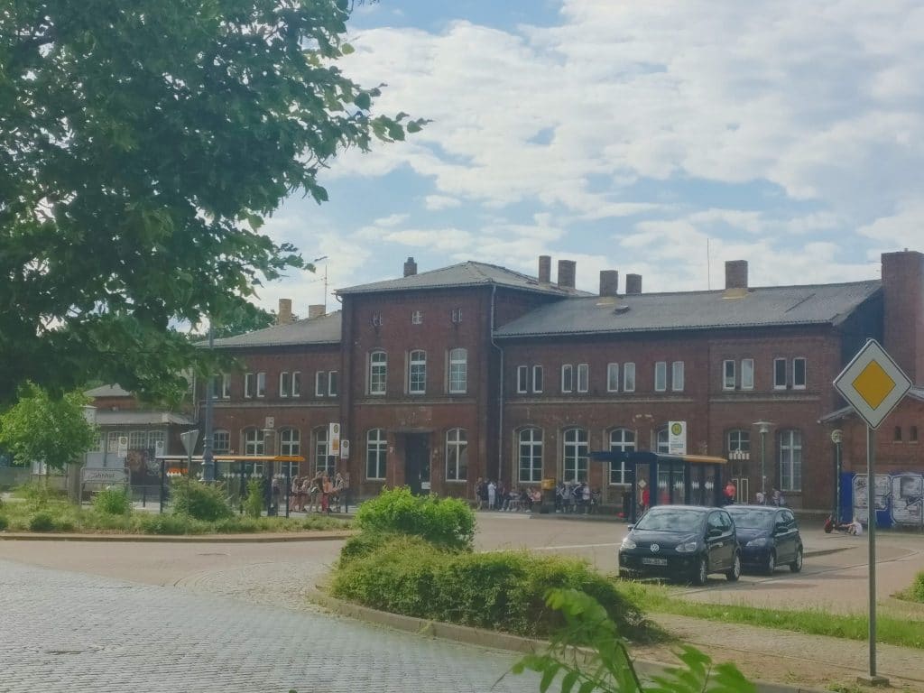
The hotel
I am staying in the Hotel am Rathaus. A small hotel and checking in I was quickly shown to my room. Which wasn’t cleaned. I got another, bigger room, which was cleaned and perfect for staying two night here. I really need a rest after this adventurous day.
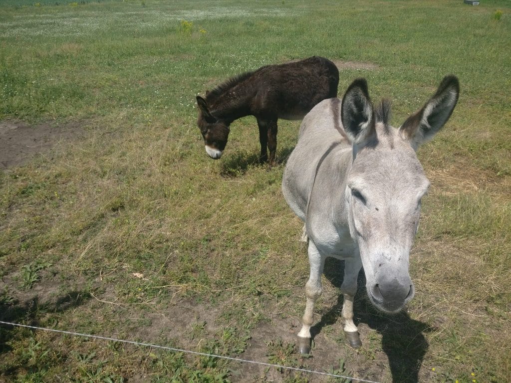
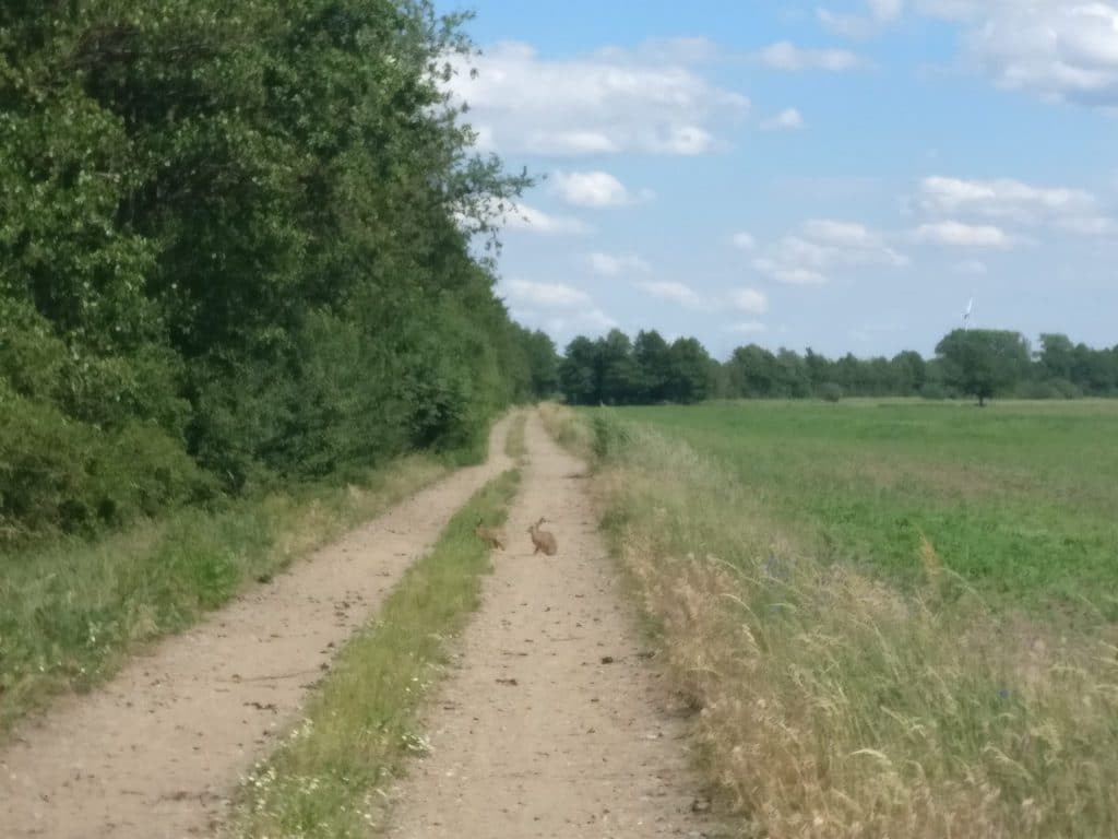
The animals
Yes, today is another edition of #WAHMST, “What animals has Marcel seen today?”. I have seen a deer, scared, so it ran away. Furthermore I saw lots of cows, some horses, two hares and two donkeys.
Oh, and I saw wolf tracks, but no wolves. Although I walked large parts of the stage with a big stick to be able to defend myself when encountering one.
Tomorrow
I really don’t know what to do tomorrow. It’s going to be 32 degrees Celsius here, there is a public swimming pool, so I might enjoy a little swim there.
I’ll let you know what I’ve done tomorrow.